Details
North River Falls
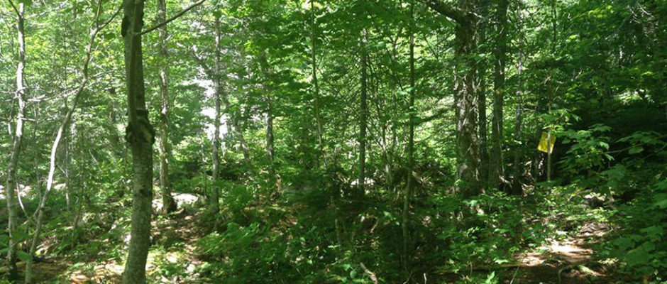
On the way along the trail to North River falls you may notice at least one foundation and a number of stone walls. These walls were created of the stones cleared from the land, which a number of Scots families called home in the mid-1800′s. In fact the park is located on the former site of a schoolhouse.
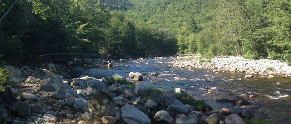
The trail starts at the sign near the edge of the parking lot, and leads up to an old road. The children of the Scottish settlers probably used this same route to travel to school each day. The first five kilometres or so make for fairly casual hiking and will provide many chances to get a good look at North River. You will come to a fork in the path; following the left will take you to the river where you will get a glimpse of a Salmon pool, keep an eye open, you may see these hungry fish jumping for flies. This is where the casual hiker may want to turn back, but if it is true adventure and beauty you want, follow the right path, to the falls (mark with a sign reading MacLeans Farm). The remainder of the trail is fairly difficult, with many ups, downs, and stone-hop stream crossings but it is the length that may get you in the end. Stretching nine kilometres to the falls, the trail takes you along the North bank of North River. The trail nearly disappearing in places, and becoming more treacherous toward the end. Watch your step, roots and rocks are a common interference on the last three kilometres.
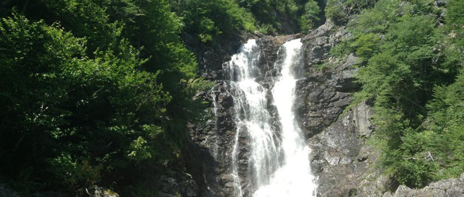
The last kilometre is a series of hills and drops and the sound of the falls is not an uncommon occurrence. As you approach the falls the sight will overwhelm you. The North River Falls are the highest falls in Cape Breton (about 100 ft in height) and are a sight to be seen. The first day we went to the falls we spent about two hours there. It was a little early in the year, but they say it is a great place to swim later in the season. In the spring butterflies are abundant in this area.


